The Mullerthal Region
My plan for this blog post was to create a guide on how to visit and enjoy the Mullerthal Region. But, while I was writing it, I realised that there is no point in creating a guide for something that you have to discover yourself. It felt like I was writing a guide to watching a movie: you first find a cinema, then you buy the tickets, then you sit down.
It does not add any value to the reader, right?
I'd rather write some travel notes, to really show what is there to explore, much like writing a review of a movie and showing some of the scenes.
The Mullerthal Region (Mëllerdall in Luxembourgish) is a protected area located on the eastern side of the country of Luxembourg, adjacent to the German border, within the Echternach, Grevenmacher and Diekirch cantons. Known as the "Little Switzerland", the Mullerthal is a combination of open fields, thick forests, deep river valleys and giant sandstone formations, together with some beautiful Luxembourgish countryside towns.
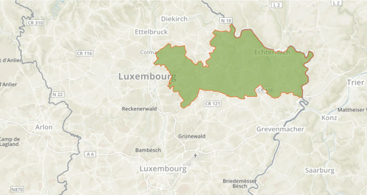
Inside the Mullerthal Region there are dozens of hiking routes to explore, including:
- *Local Routes: short and easy, no more than 15 km.
- *Main Routes: loops covering the whole region.
- *Extra tours: shorter loops than the main routes.
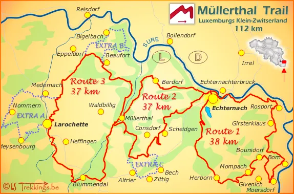
The Trails
During this blog post I will only be covering the three main routes. These three loops require about an entire day of hiking (8h - 10h), all of them being around 38km long and covering the majority of the Mullerthal Region.
Do not get me wrong here, I am not saying that only the three main loops are important and the rest of the hikes are not worth doing; of course I believe that all of the Mullerthal deserves to be explored, but I am writing these notes based on what I have done, and what I believe a traveler might be able to do with limited time.
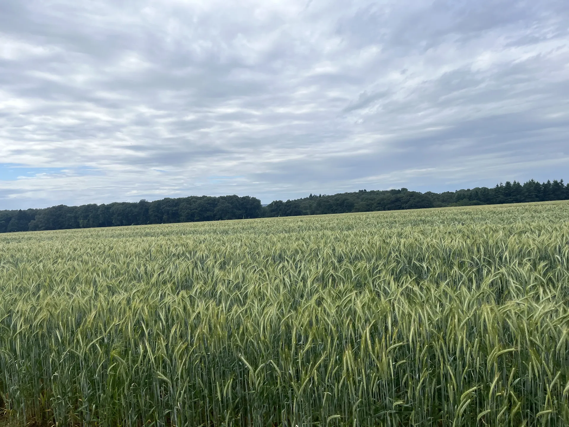
That said, let me hype your expectations and set the tone for the hike. I think the Mullerthal is a hidden gem within Europe, mostly only visited by people living around the area. During the three days of hiking, if you choose to do the three main trails, you are going to experience many different landscapes, with varying temperatures and humidity: from vast plain crop fields that give you a hint of how flat Luxembourg can be, to deep lush valleys full of mossy rocks covered with cascading plants that show the immense vegetation that Luxembourg has to offer.
Getting ready
You are going to be hiking a lot, so take the usual precautions and preparations. Get some hiking shoes that you are comfortable with, plenty of food and water (there aren't going to be many sources except on the few towns that you might pass by), and prepare some rain gear. The entire Mullerthal is prepared for hikers of any level. You should expect non-technical paths with plenty of waymarks, although you might encounter some muddy sections and some river crossings. Remember that the trails are hard, not because you need climbing experience or survival skills, but because you are going to be walking for a long time.
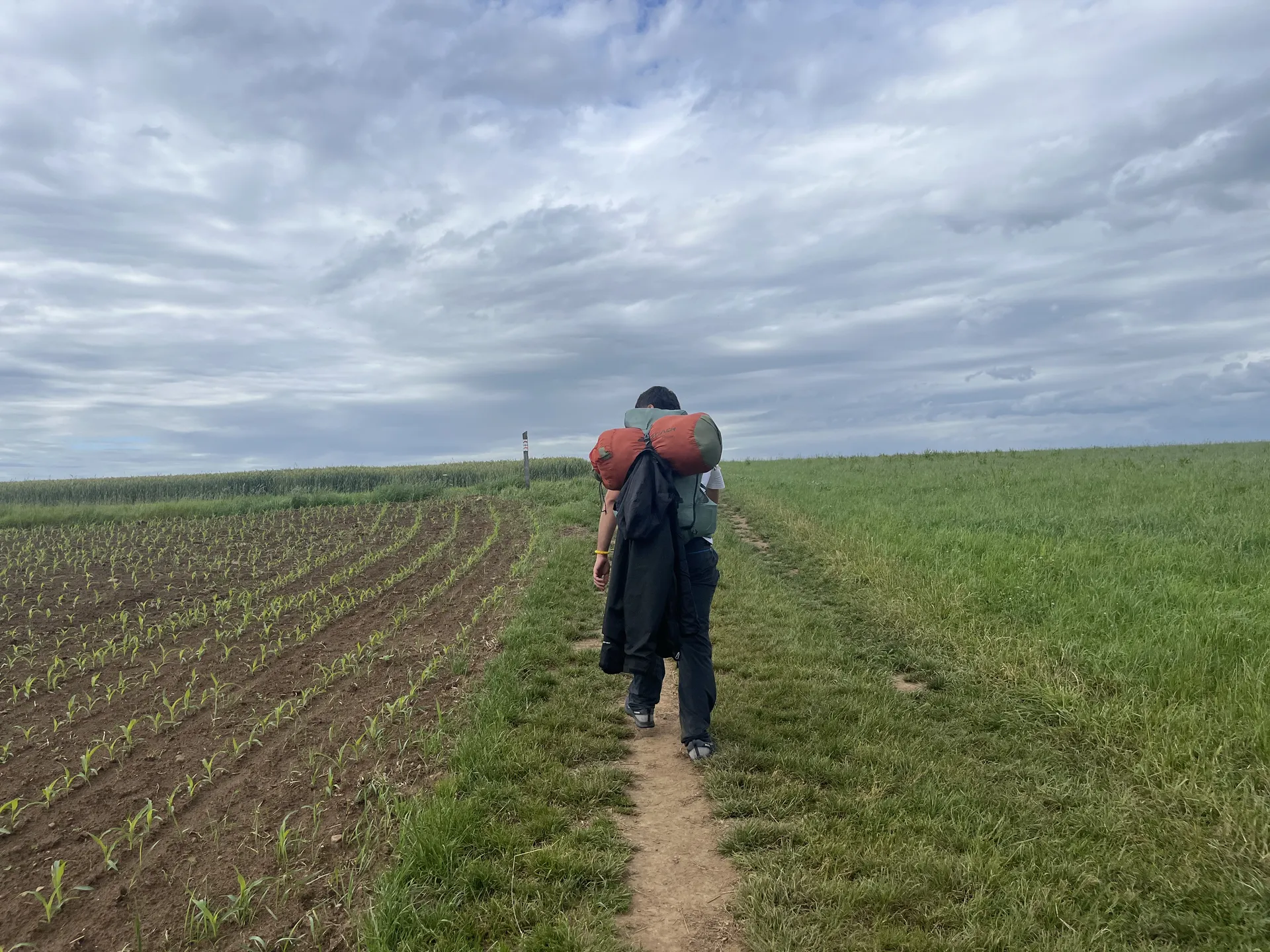
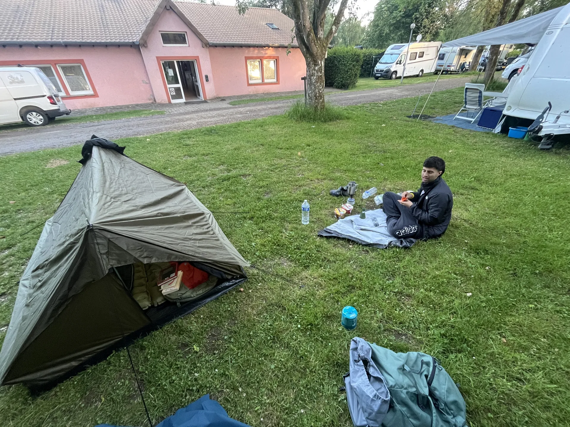
Also, it is not mandatory to do the three trails on consecutive days, or even to finish one per day. If it's too much, you can always pay for a camping spot in some of the cities around, to rest for the night and continue the next day. Cities like Berdorf, Consdorf or Echternach have options for spending the night. For example, for route 2, me and my girlfriend decided to take it easy and camp in Berdorf. We started outside of the trail, in a parking at the south entrance of Consdorf. Then we hiked counter-clockwise for 20km with camping gear (tent, mattress, sleeping bag, stove, ...) until we reached our camping in Berdorf.
The Itinerary
To simplify this small post, and to synchronize with the labeling on the official Mullerthal page, I will be referring to these three trails as Mullerthal trail 1, 2 and 3.
Of course, since we can count them, we can also order them. The naive way would be to just hike them in numerical ascending order, trail 1 first, then trail 2 and finally trail 3. But honestly, I do not think that this way is the optimal itinerary, since we can discover the region in a more poetic manner.
For me the trail ordering must follow the core sections of a book: the front matter, the body and the back matter. Luckily we have exactly three trails to fit them:
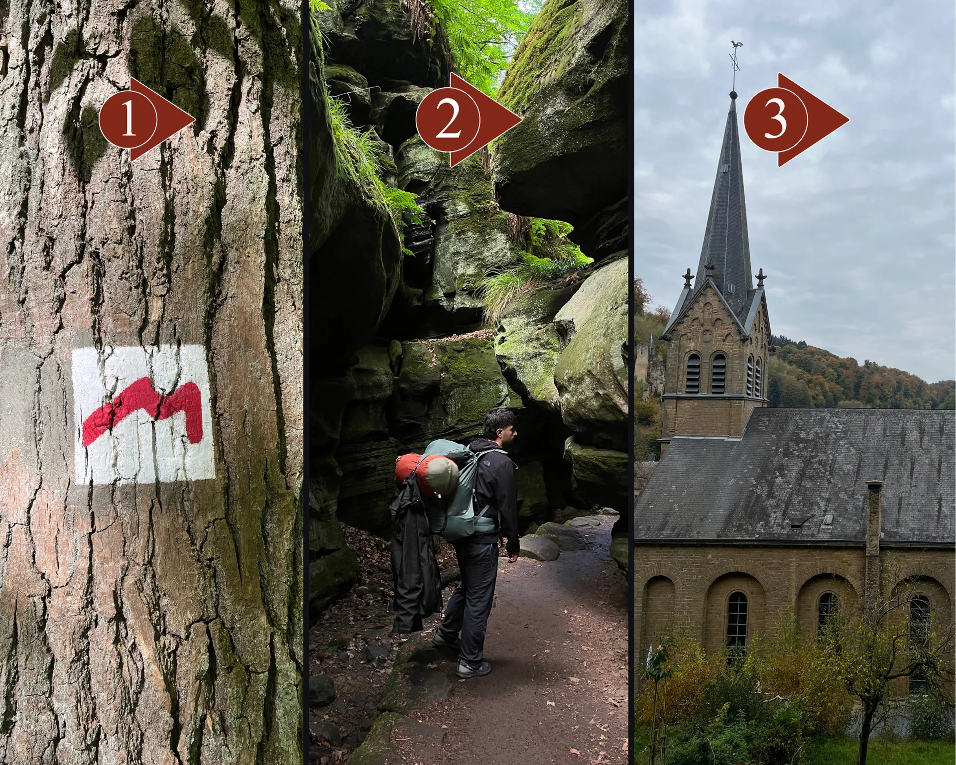
- *Trail 1 will give you a brief introduction of what the hikes are going to feel like. It's the warm-up, without feeling overwhelmed and building some hype on what's next. Plenty of everlasting fields, and some cute towns with farm animals. You will be able to see how the signs for the trails work, and how easy it is to get around.
- *Trail 3 will show you many different forests, from dying to dense ones. You will experience some of the most beautiful towns together with some abandoned castles. Its the most diverse out of all the trails, having many different landscapes.
- *Trail 2 is la creme de la creme. Contains the more dramatic versions of all you have seen until now including new components such as caves and waterfalls. It also allows you to revisit some sections, which you will for sure be grateful. Most of it is set within the forest section, just sometimes going out to Berdorf and some small fields. Its the sweetest ending to your journey.
Of course this post is not a replacement for actually going there, so please take a cheap flight from a low cost airline to Luxembourg and get to the Mullerthal by public transport (which, by the way, is completely free!)
Highlights
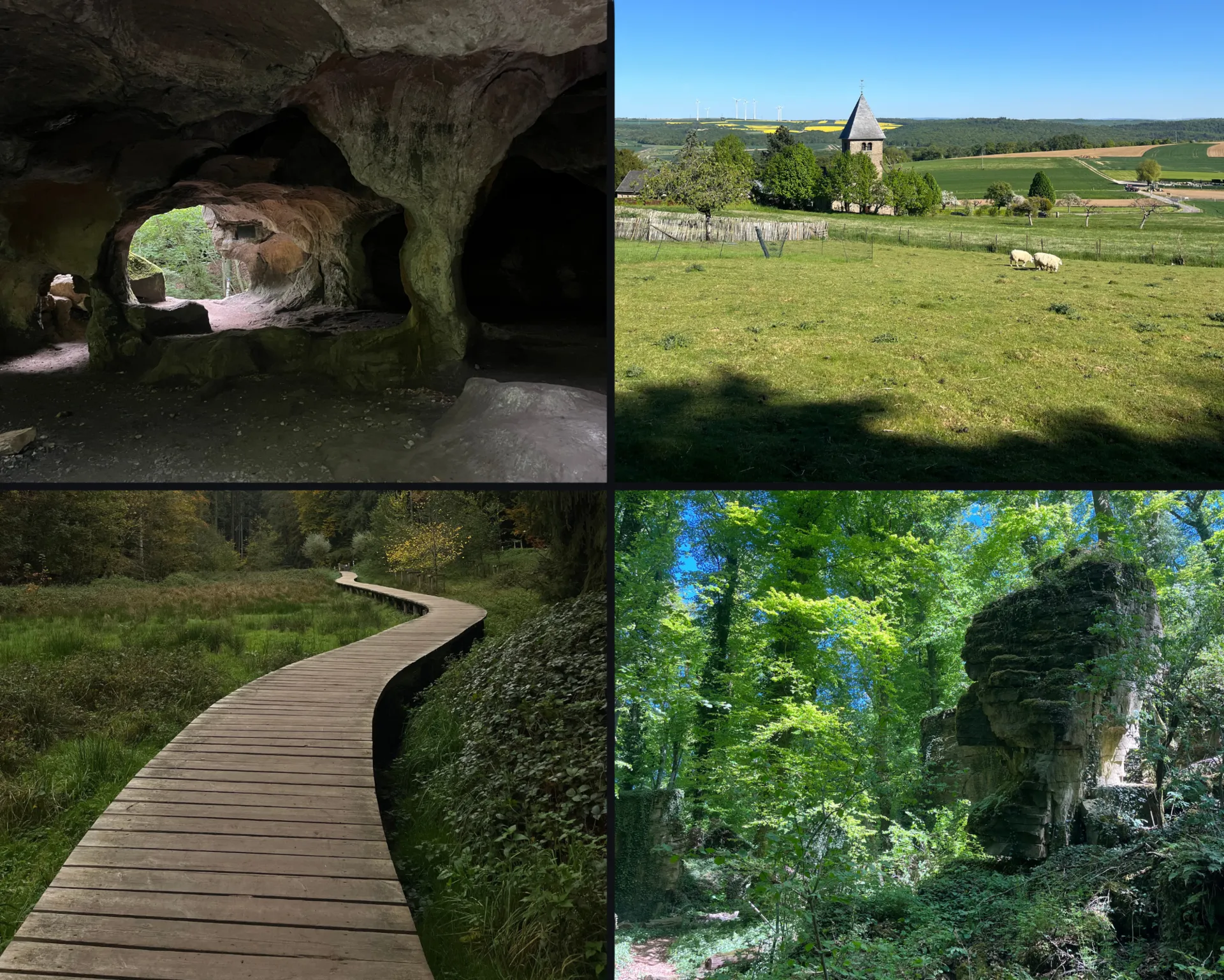
The Mullerthal Region used to be the seabed of a warm, shallow sea, around 300 million years ago. All the sedimentary deposits of the prehistoric sea formed the sandstone structures the Mullerthal has all around. Erosion and weather shaped these rocks for millions of years, leaving us the shocking landscapes of valleys surrounded by giant eroded blocks. While hiking, you will encounter rocks of many shapes and sizes, making it impossible not to stare at them with awe.
Let me tell you something. You will leave with hundreds of pictures of rocks on your phone, they never get boring!
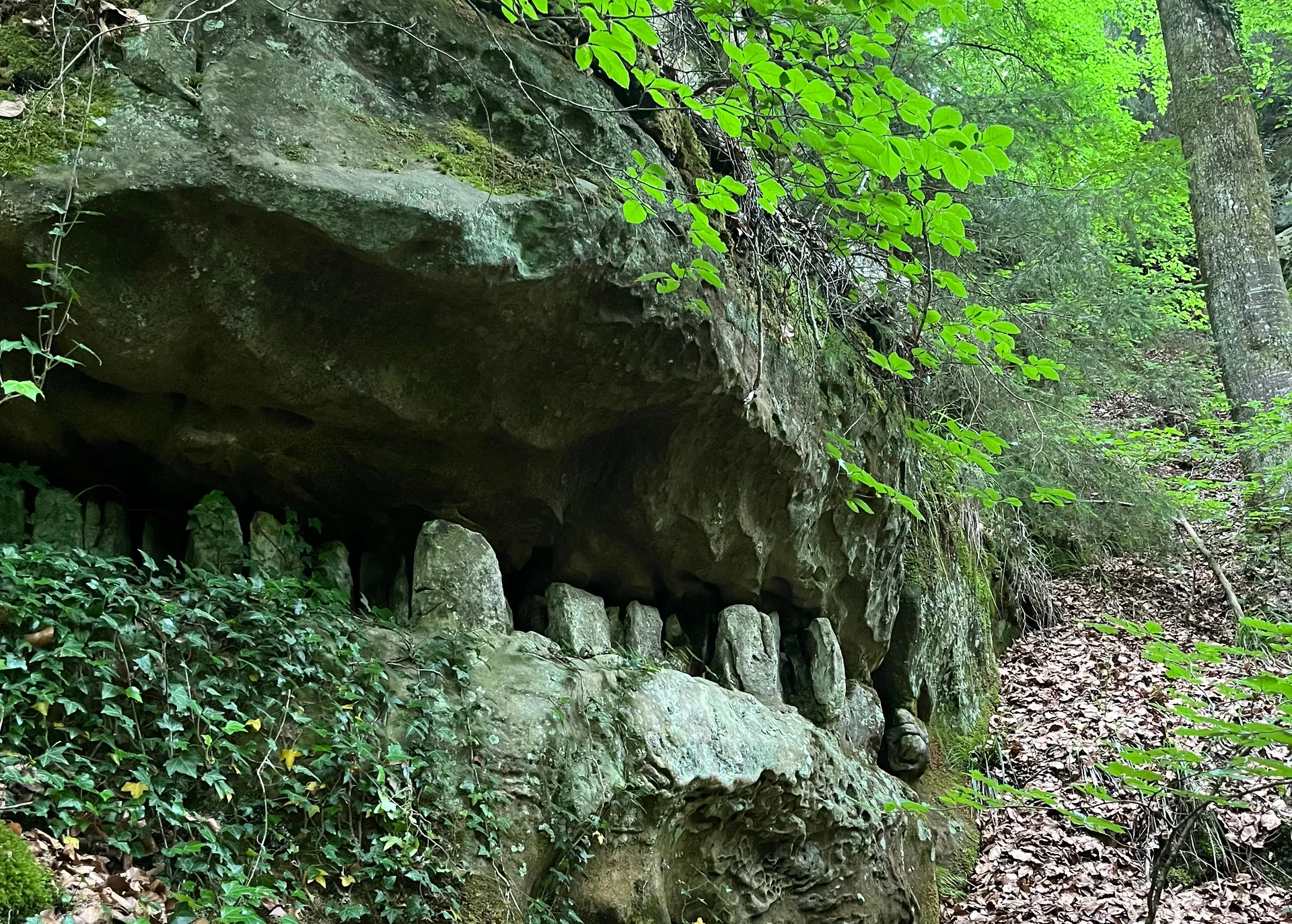
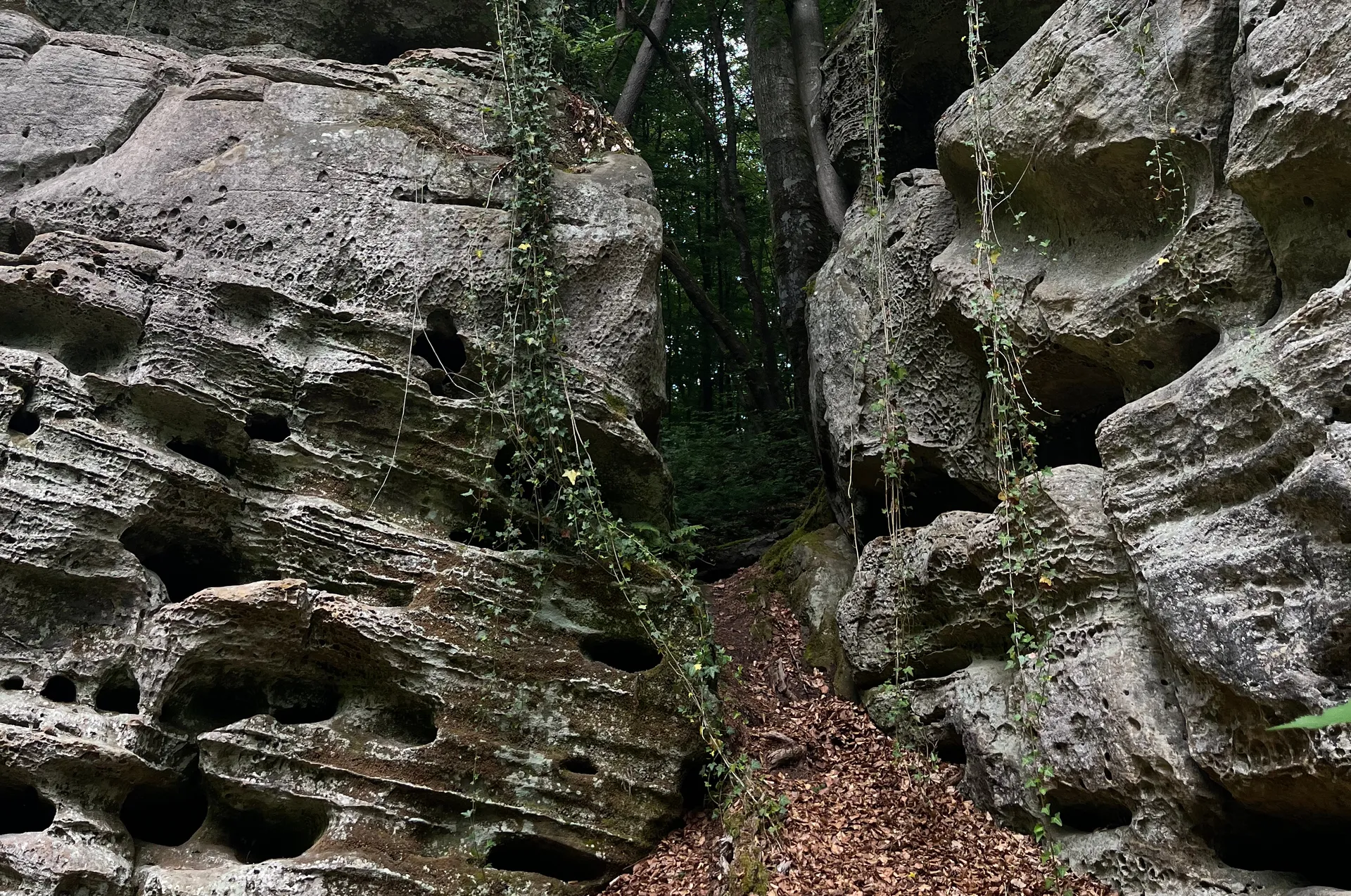
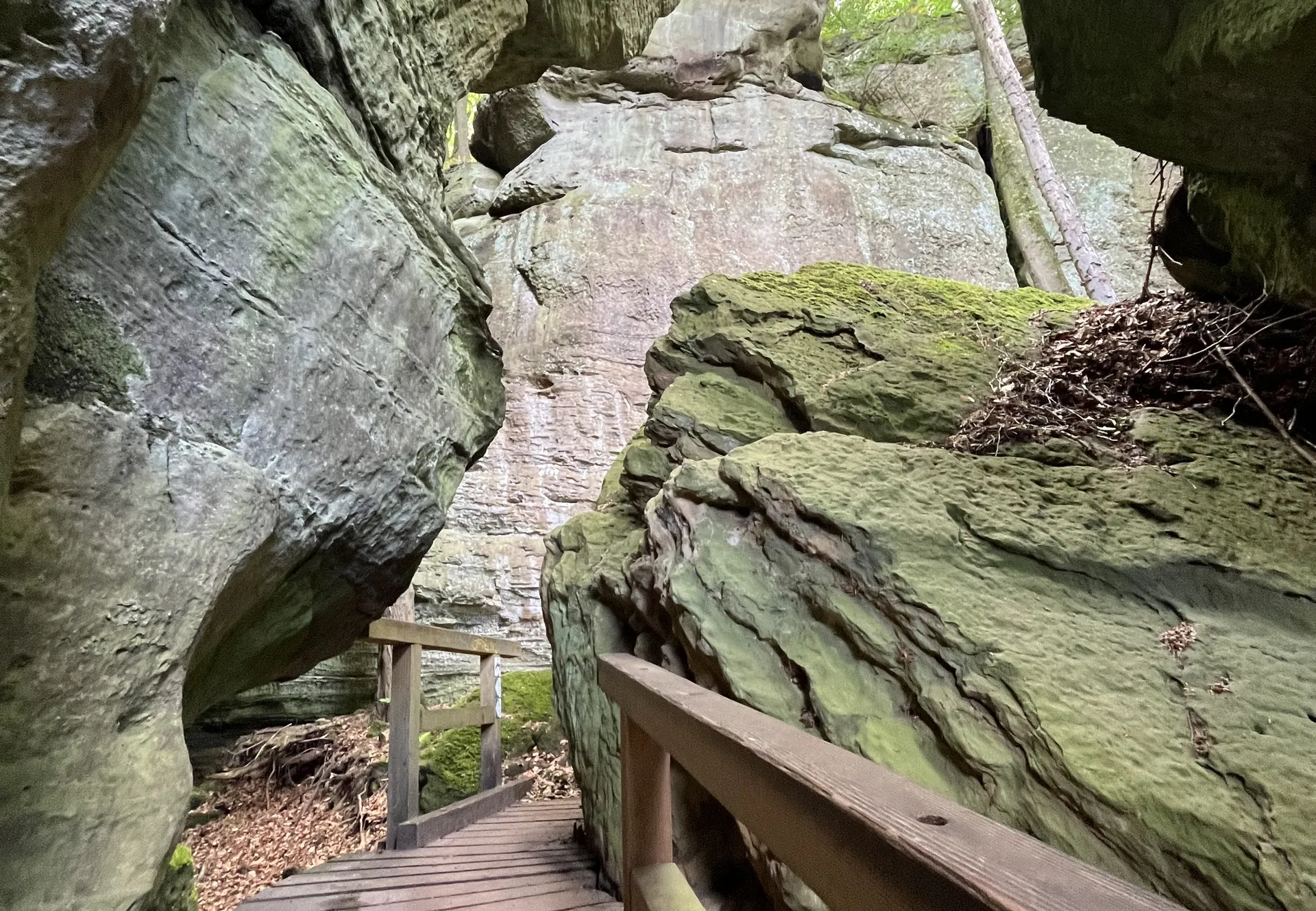
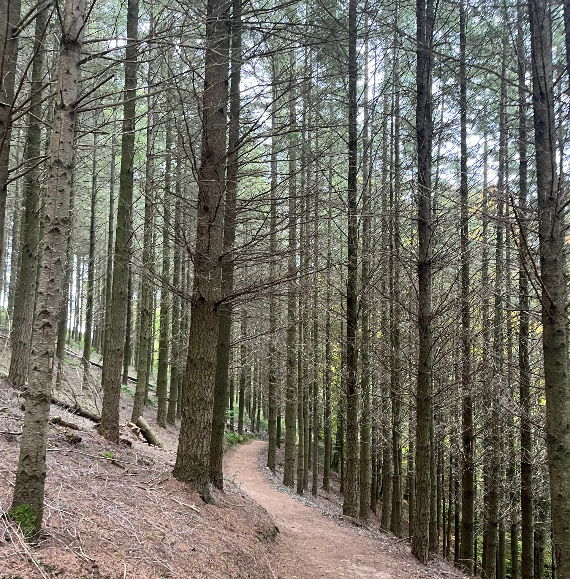
The majority of the Mullerthal Region is humid, shady and cool, and there are plenty of streams and shallow underground water. These conditions greatly favor the growth of healthy trees and ferns. Also, since the sandstone cliffs and narrow valleys create a lot of shade, the sun does not dry the ground much, allowing moss to grow all around. All this put together gives the Mullerthal a radiant shade of green all around, making you feel as if you were in a cold and drier version of a tropical jungle.
And because of the immense amount of vegetation, prepare yourself to see plenty of animals too! From small mammals, such as mice and squirrels, to plenty of singing birds. And, of course, lots of insects will be living their best lives in this humid environment.
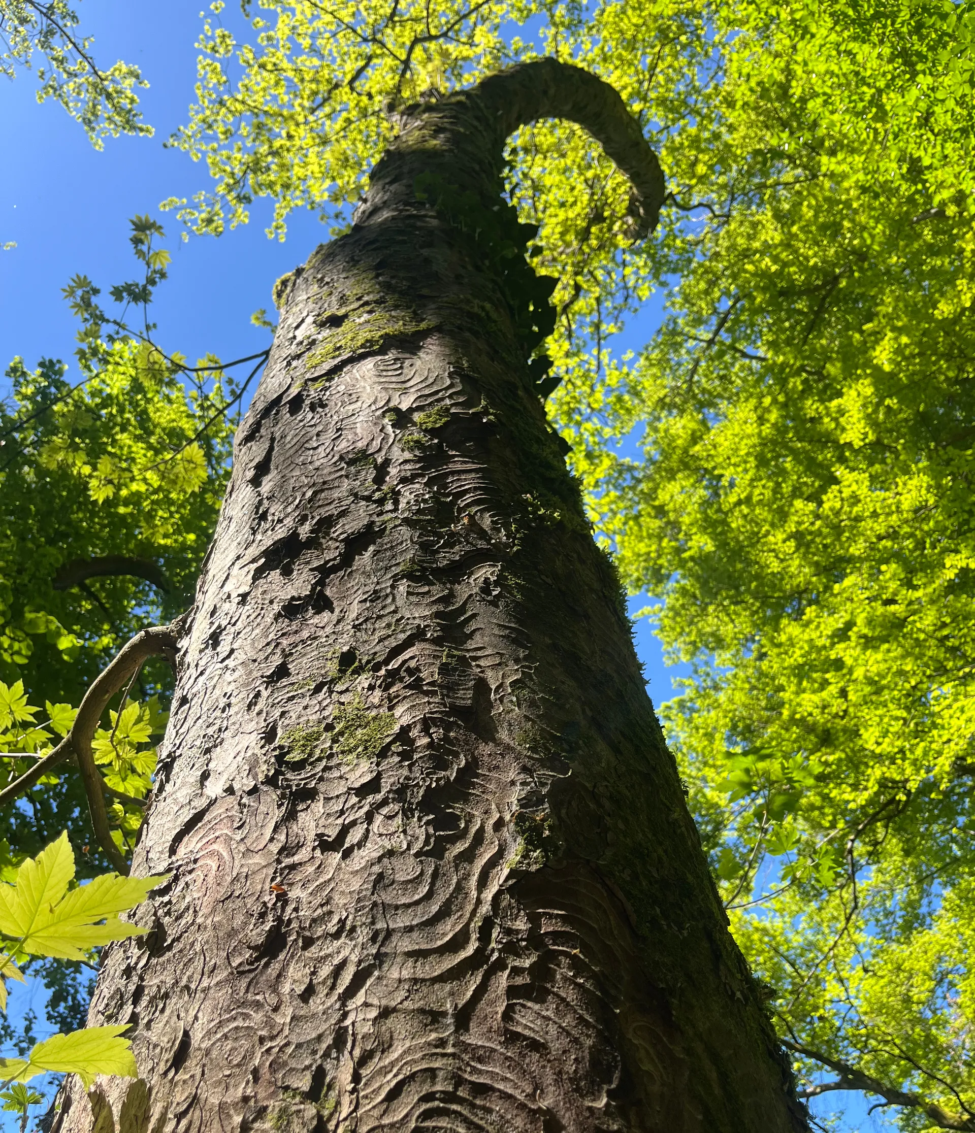
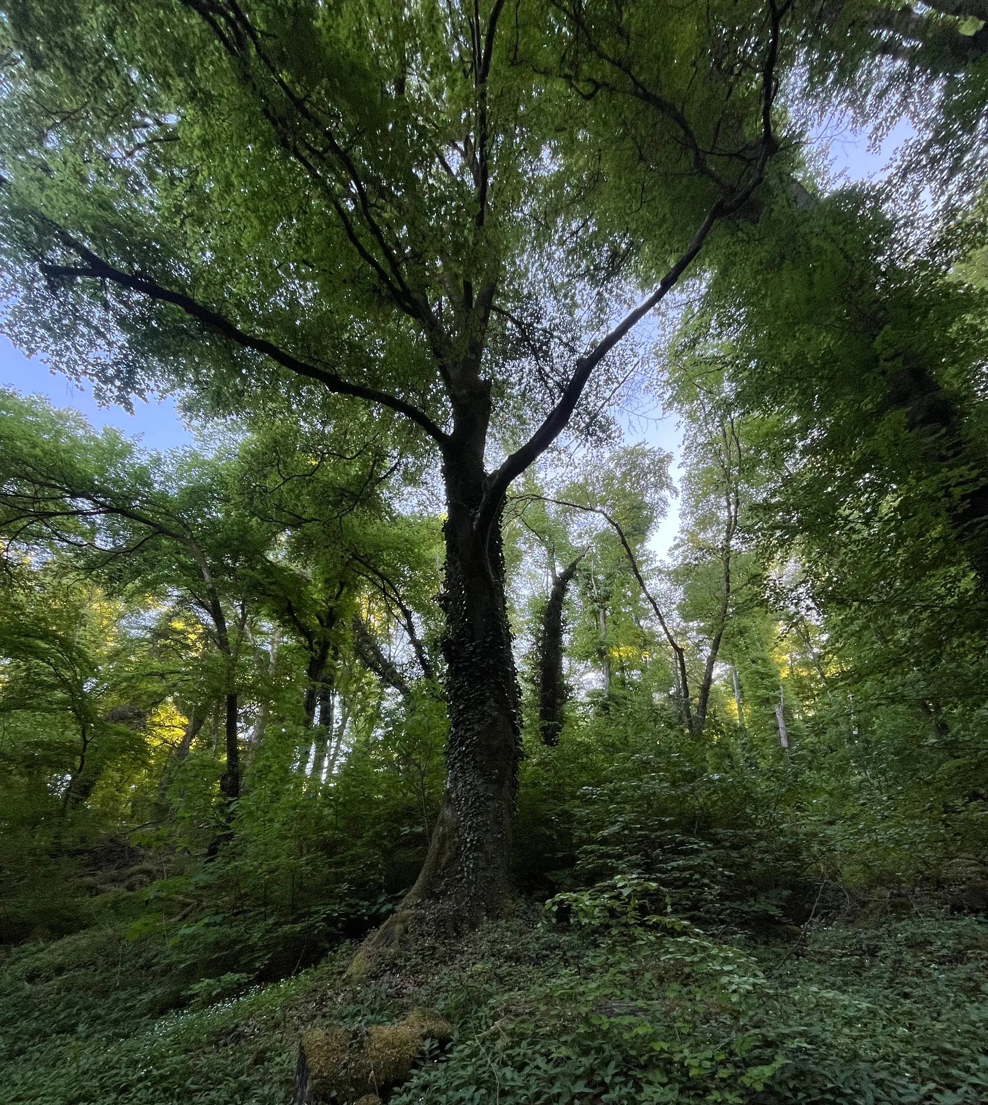
These greener areas contrast with drier plateaus and forests, that both agriculture and recent climate pressure have shaped the landscape around the Mullerthal. This is one of the key factors that gives the Mullerthal a non-uniform appearance, generating the sensation of adventure and discovery for the hiker.
Route 3 is the perfect example of this characteristic. You will be constantly changing from field to forest, to deep valley, to windy hill and back to plain field every 30 minutes to 1 hour of hiking.
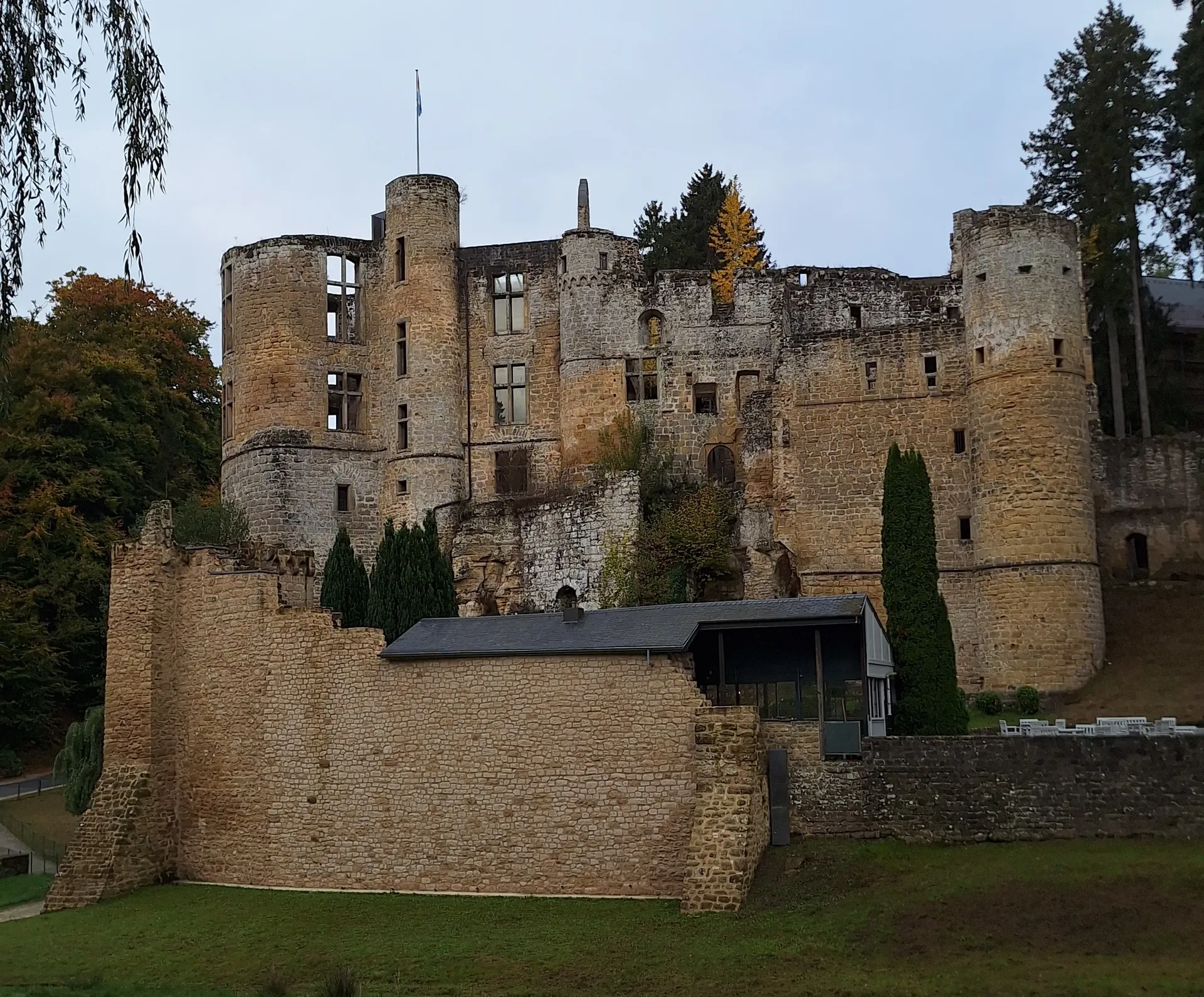
Apart from natural formations, you will also have the opportunity to see some signs of human activity around. In two of the trails you will visit the Mullerthal town, in the heart of the Mullerthal, with some restaurants and an old mill that has an exhibition of how life used to be around the place.
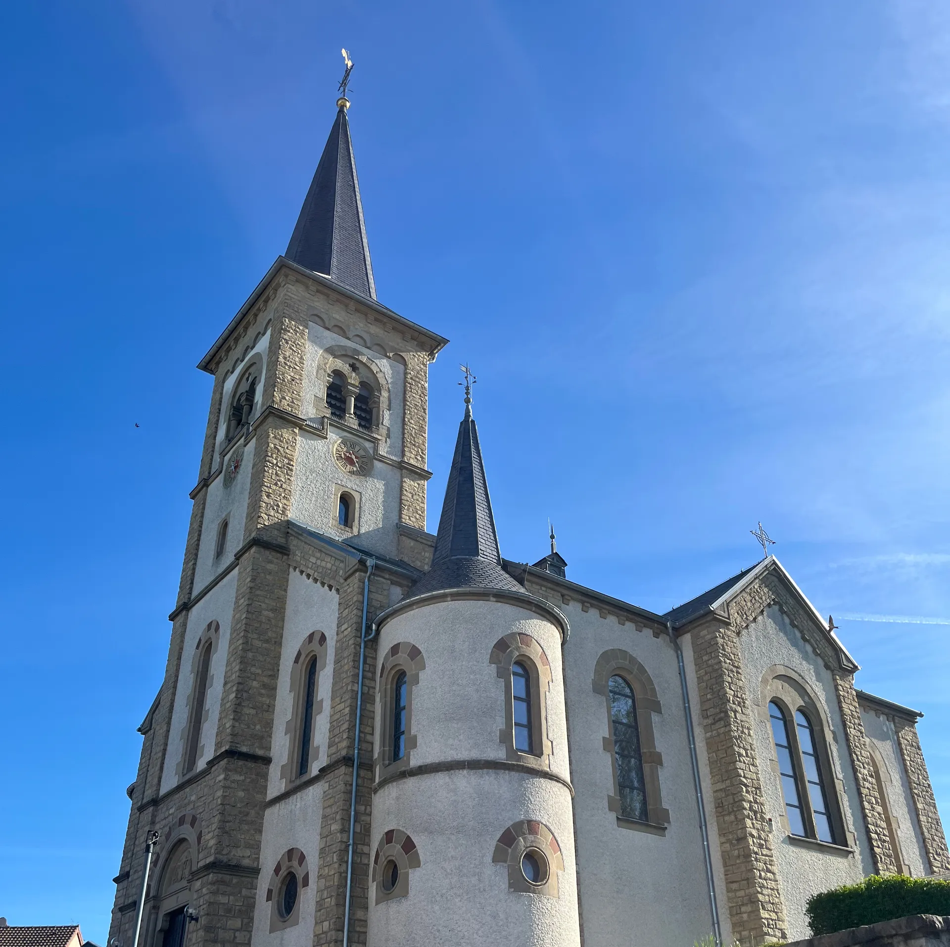
During the hikes you will also encounter beautiful Luxembourgish churches, monasteries and castles that remind you that, even though you are in nature, human society has been living there for many centuries, maintaining and preserving the region.
Extras!
As I have said before, The Mullerthal Region does not only have Trails 1, 2, and 3, but also includes dozens of local shorter trails where you can discover waterfalls, caves, bridges and much more. Here is a curated list of my favourites if you decide you want to do some shorter, more specific hikes:
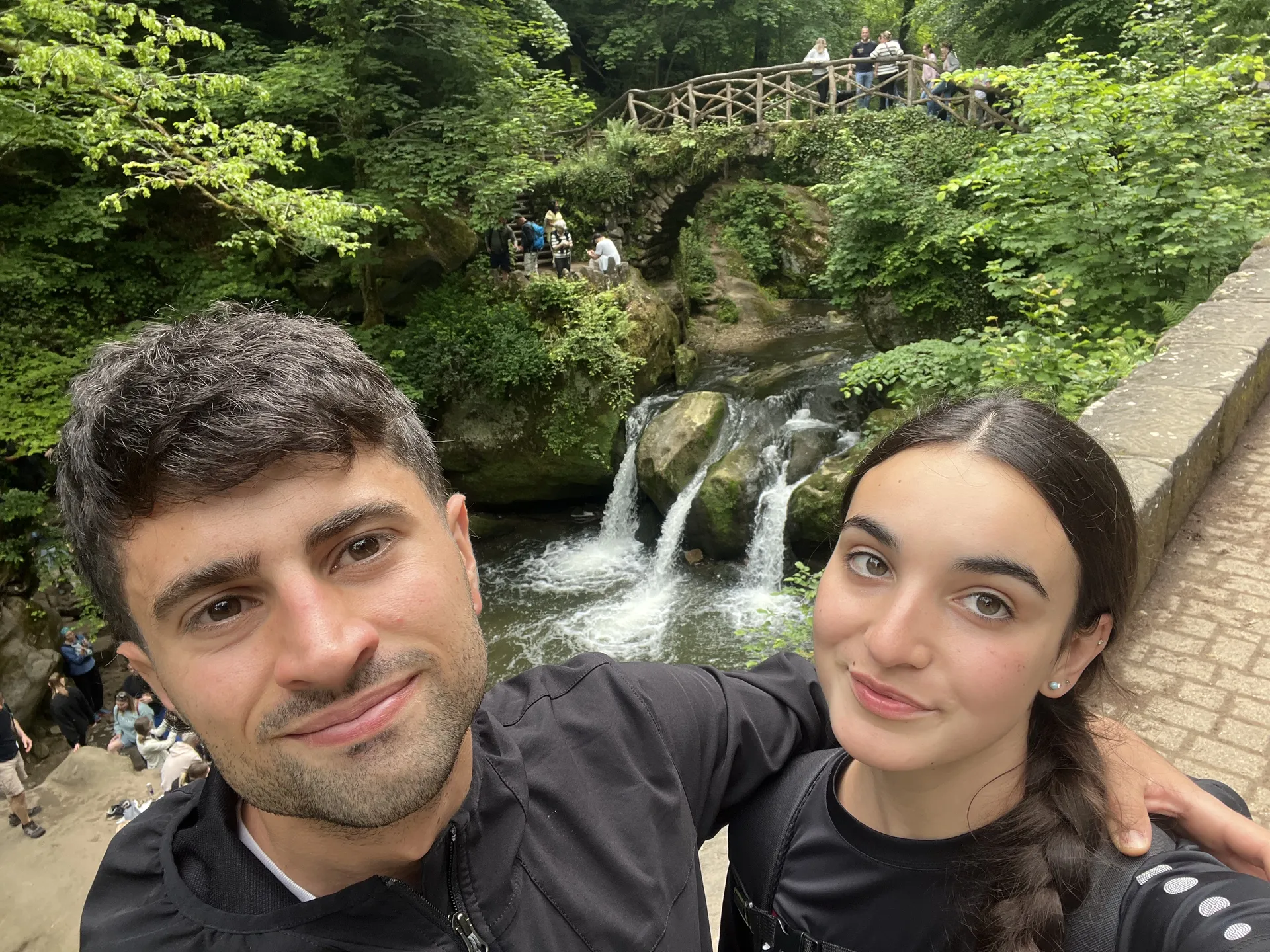
- *W7: One of the most popular ones, where you can visit iconic waterfalls such as Schiessentumpel and Kallektuffquell. This route also goes through the iconic Mullerthal town, giving you a chance to visit the mill.
- *R7: Small circular route situated on the far east side of the Mullerthal. It shows the beautiful town of Rosport from a top panoramic route, and has a good portion of the path through the deep forest.
- *B17: Another circular route on the Luxembourg-Germany border. The hike is easy, with well-maintained paths, going through a beautiful wooden bridge.
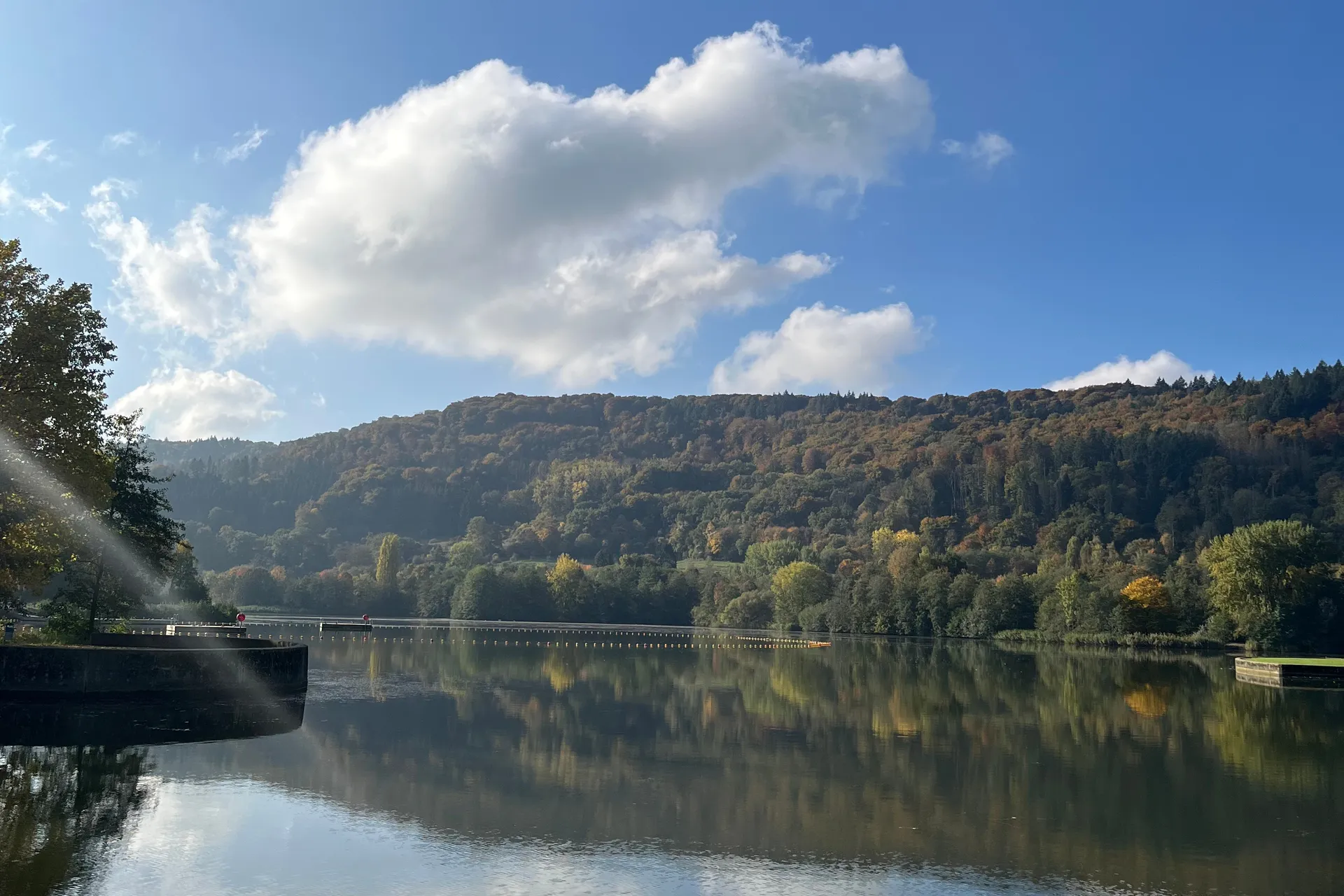
- *E5: One of my favorite short hikes, where you stroll around the beautiful Echternach Lake, and then ascend to a viewpoint to observe the city from above. If the day is too hot, you can bring a swimsuit and dip in the water in the designated swimming area of the lake.
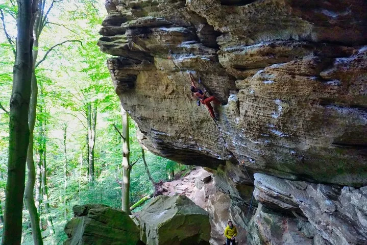
And lastly, if you are interested in outdoor climbing, you can go to the climbing area of Berdorf, where you will have the chance to climb the sandstone rocks you have been seeing all along your hikes.
Disclaimer: To be allowed to climb here, you need to be a member of a climbing federation which is part of the UIAA.
Thanks for reading -- Written on VIM